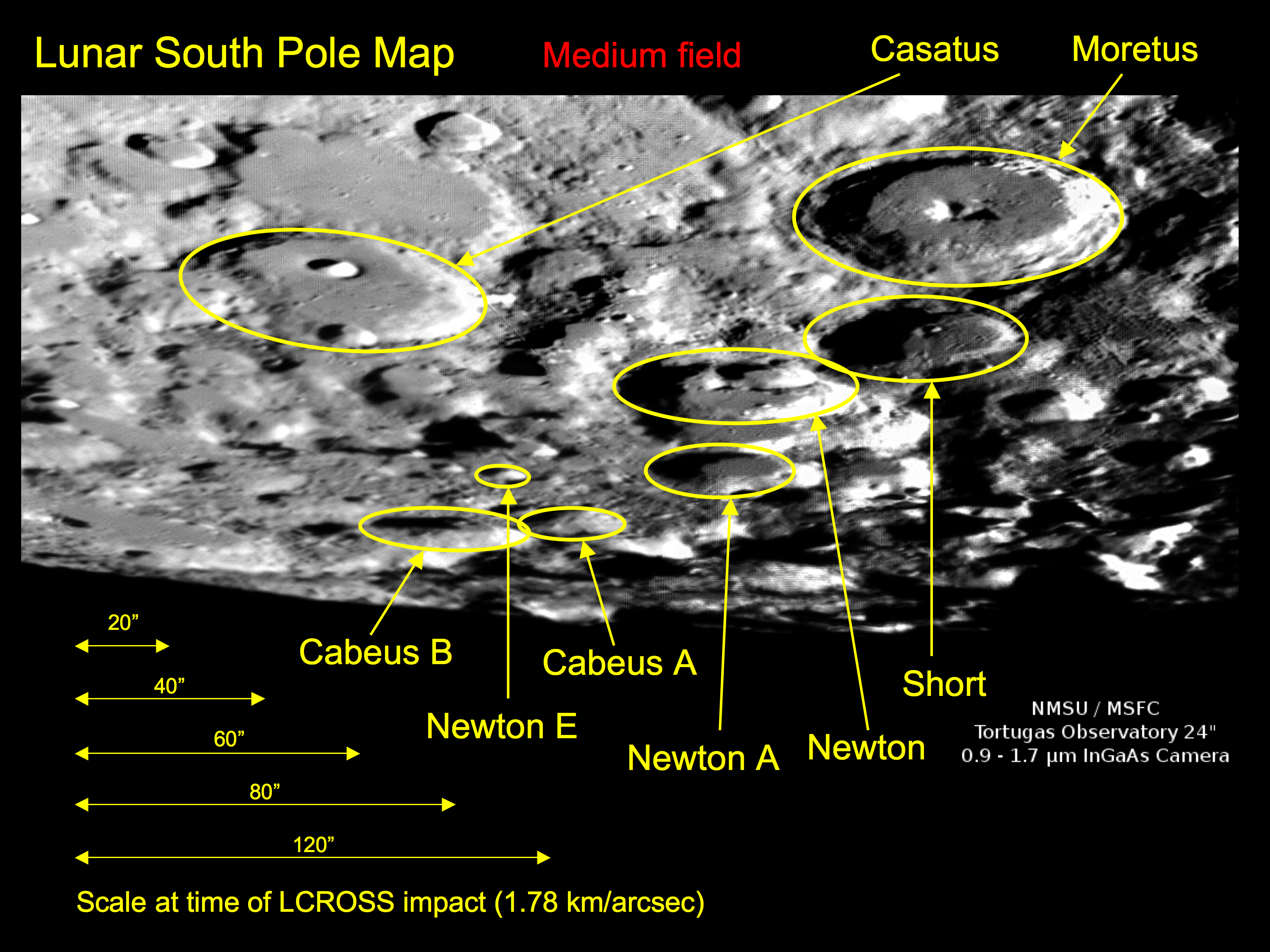
Mapping
In preparation for the event, we have tried to map the south pole of the moon at a similar illumination and libration that we expect to see on the night of the impact.
PLEASE NOTE
The images below have been heavily processed using Registax 5 and AutoPano Pro to give the best and sharpest result. They are not science quality images and are intended as finder charts only!
The maps below were obtained using the Tortugas 24" telescope on August 11th at approximately 7:25 UT.


Videos
Videos from the NMSU 1m & the Tortugas 24" are captured to a PC and converted to a portable AVI file.
Videos were assembled from the 3.5m individual images and were created on the night of the event in time for the LCROSS press conference. The videos are created using a custom routine developed by Ryan Hamilton, using a combination of PGPLOT, MEncoder, FFmpeg, and written in ANSI C and BASH.
Sample videos from impact night will be online soon from each telescope used by our team.
Assorted Images
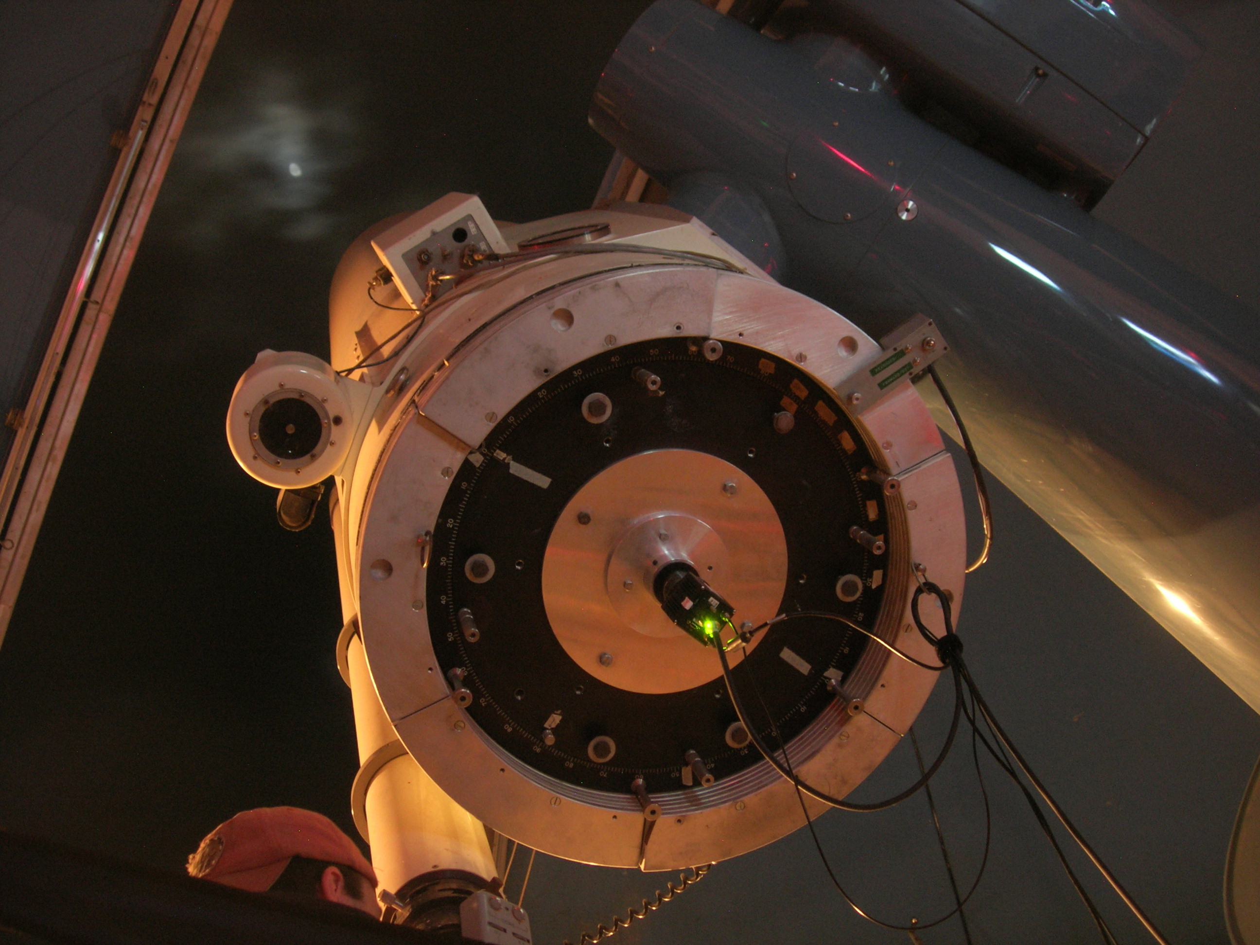
Here's what most of the team looks like from 0.9 to 1.7 microns! The image to the left is a still image, and the image to the right leads to a short video of us saying hello:


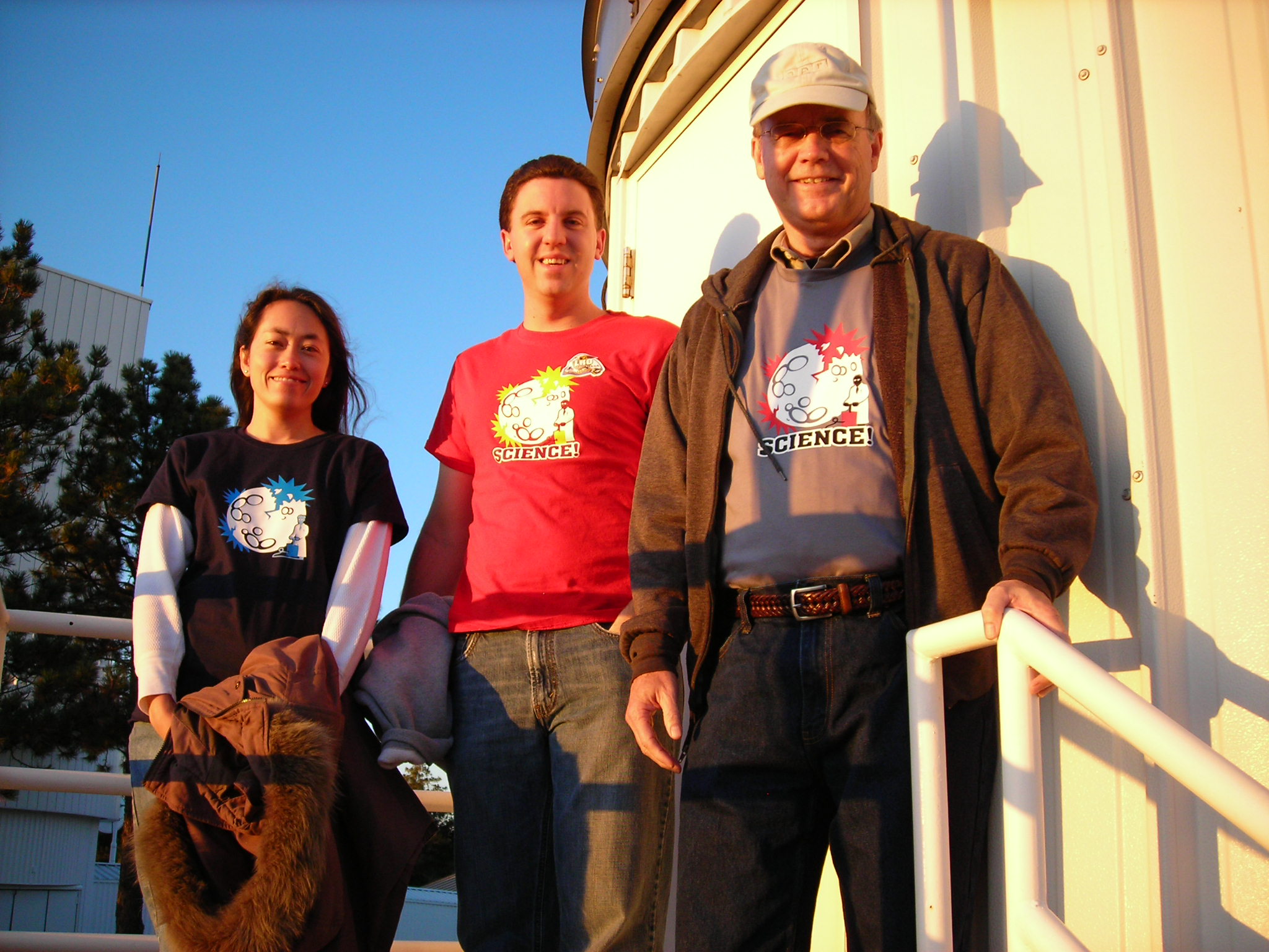
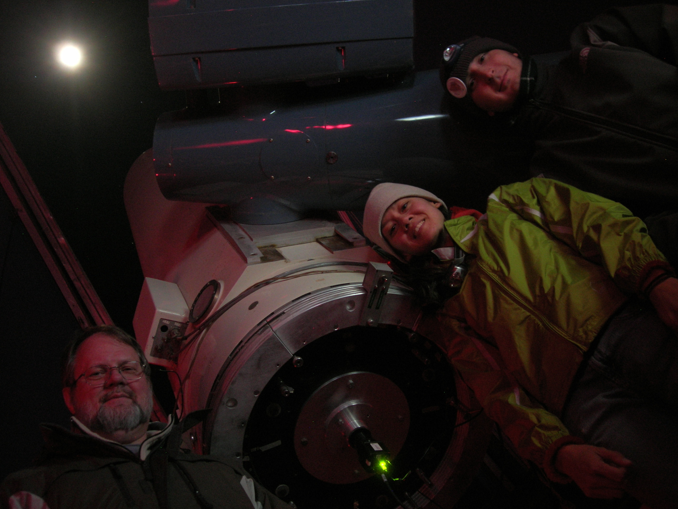
Here are some pictures from a few days around event night at the Tortugas Mountain Observatory, including one of the observatory's permanent residents:


Here are some pictures from Apache Point, including both the 3.5m and 1m teams: