![]()
![]()

| Distance to the Sun =1.52 AU |
| Radius =3390km =0.53 Radius-of-Earth |
| Mass =0.11 Mass-of-Earth |
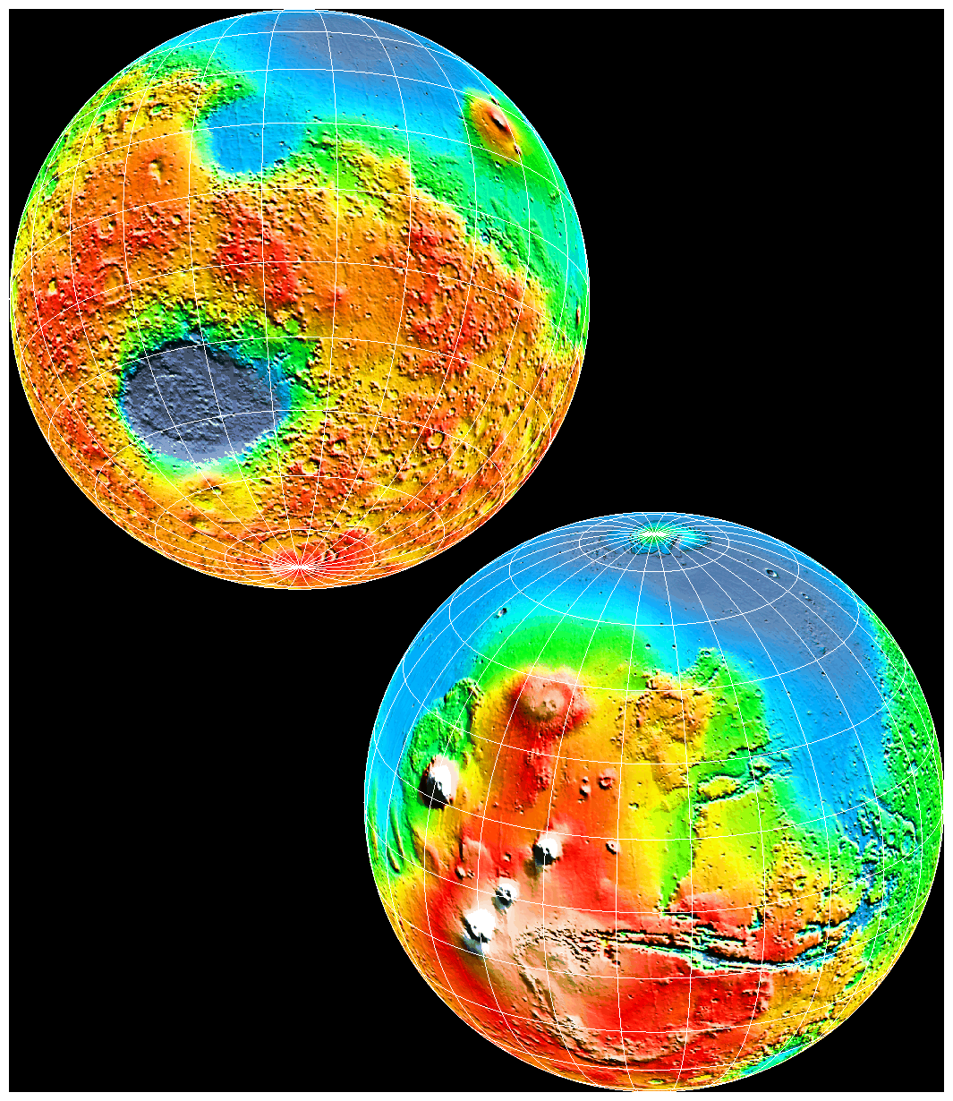 Global Topography of Mars
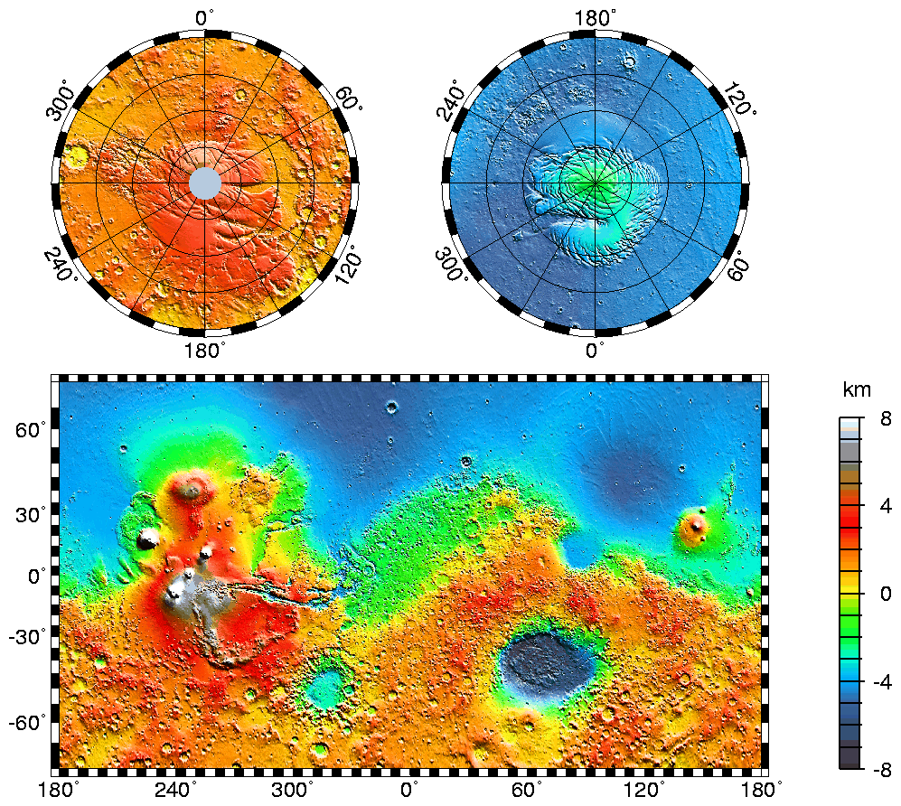
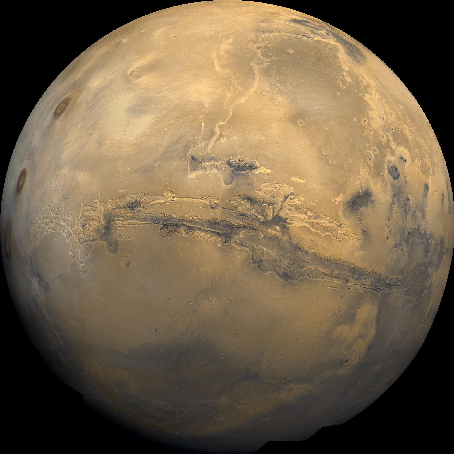
Maps of Mars' global topography. Note the elevation difference between the northern and southern hemispheres. The Tharsis volcano-tectonic province is centered near the equator in the longitude range 220° E to 300° E and contains the vast east-west trending Valles Marineris canyon system and several major volcanic shields including Olympus Mons (18° N, 225° E), Alba Patera (42° N, 252° E), Ascraeus Mons (12° N, 248° E), Pavonis Mons (0°, 247° E), and Arsia Mons (9° S, 239° E). Major impact basins include Hellas (45° S, 70° E), Argyre (50° S, 320° E), Isidis (12° N, 88° E), and Utopia (45° N, 110° E). Note that the color scale saturates above 8 km.
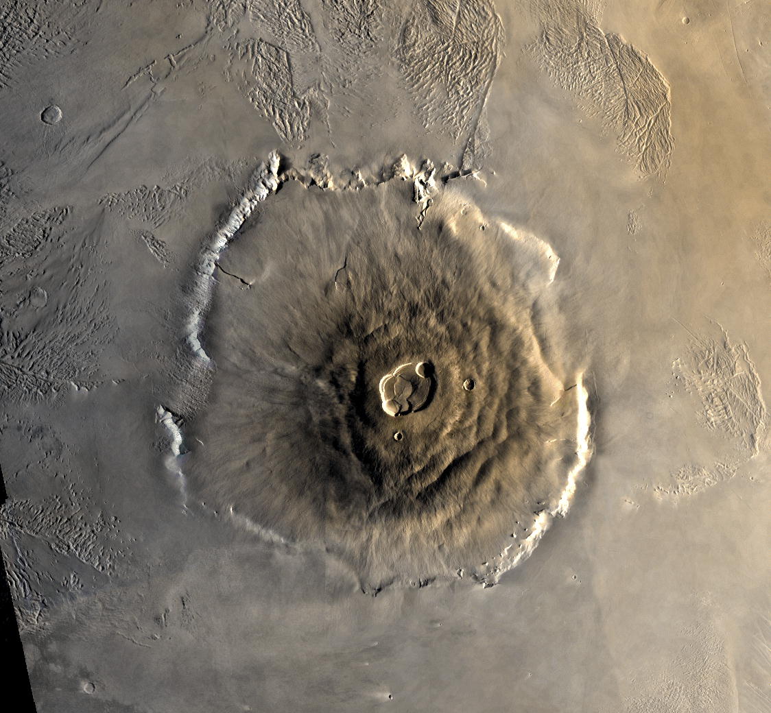
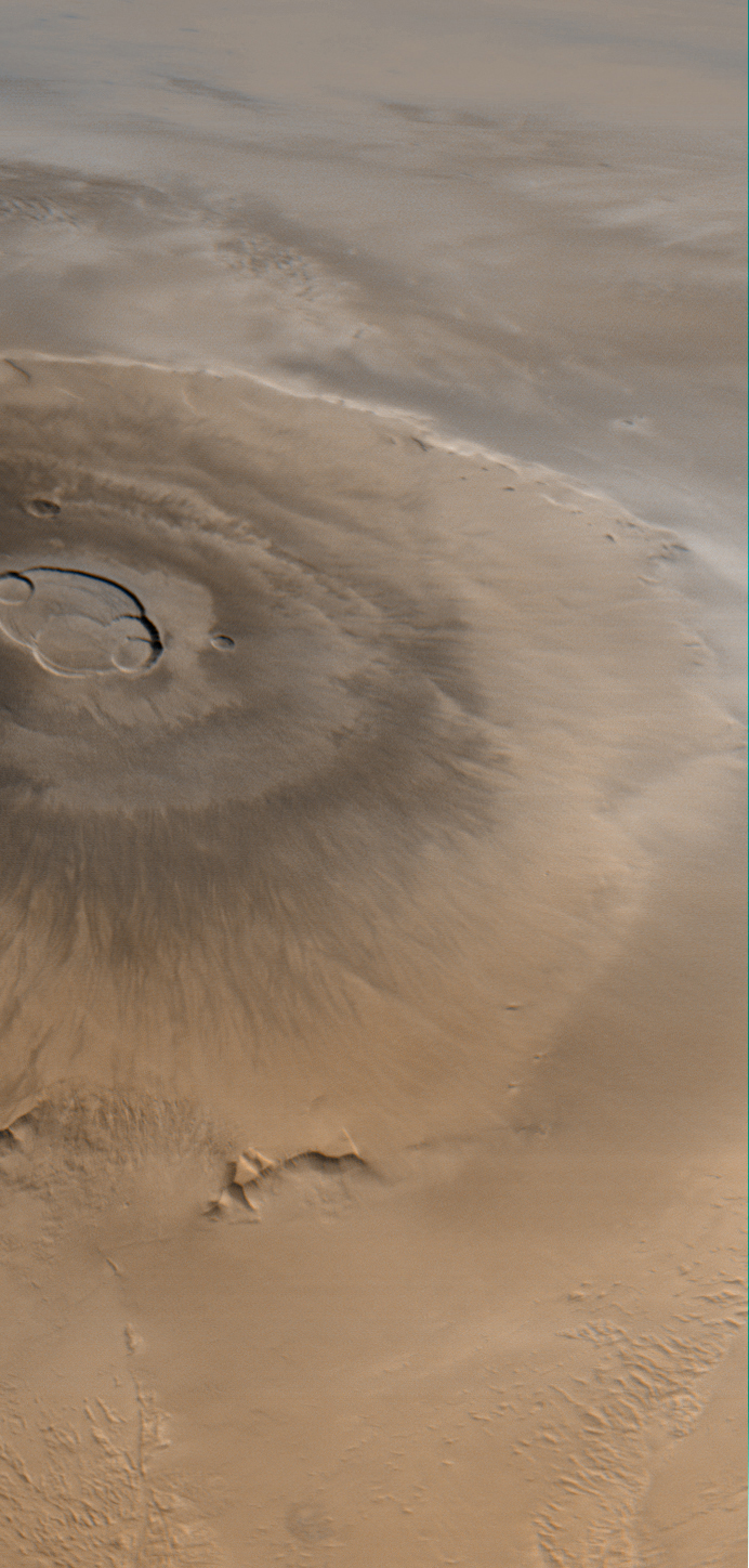
Olympus Mons: the largest volcano in the Solar System
![]()
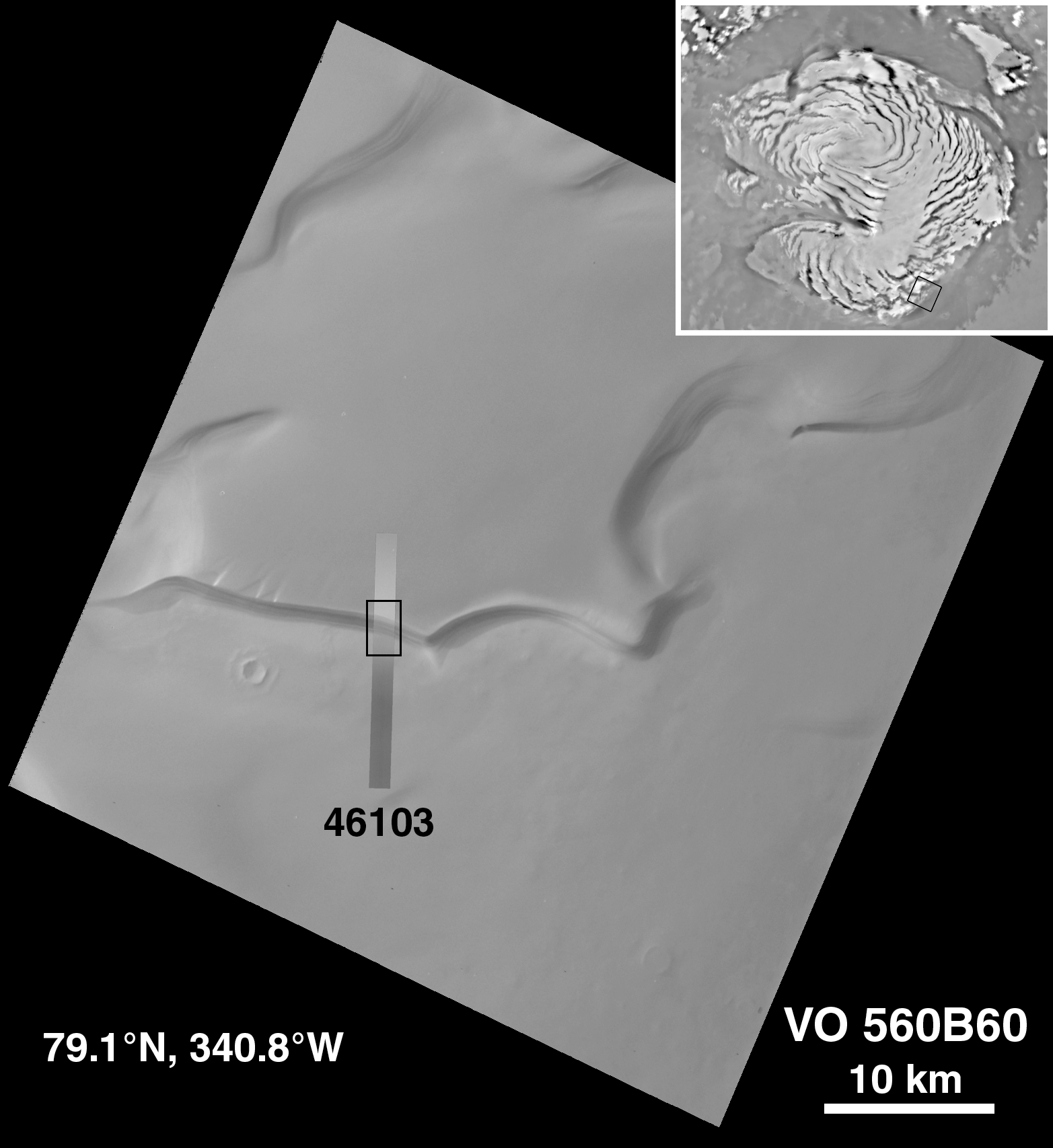
Polar Caps: layers of ice and frozen carbon dioxide

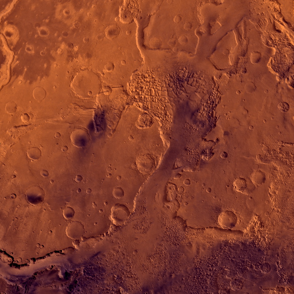
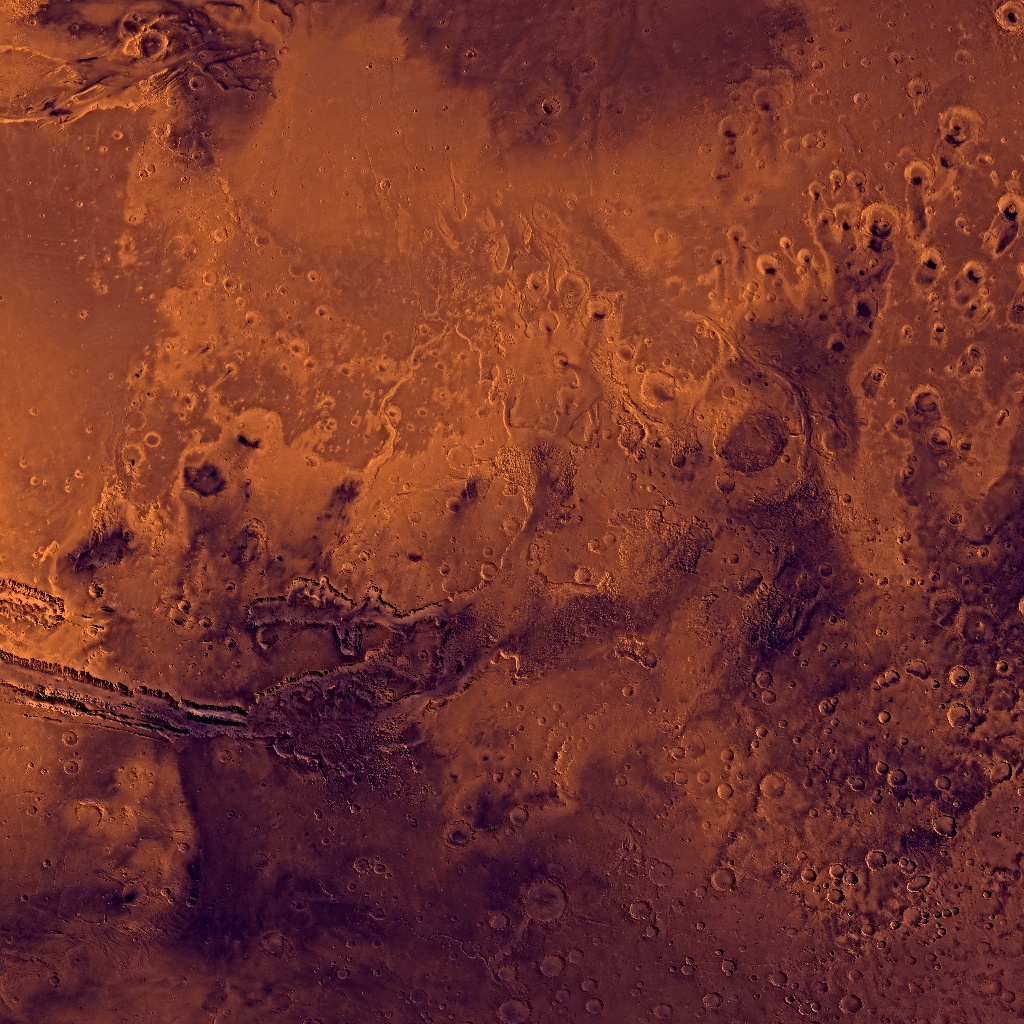
Valles Marineris
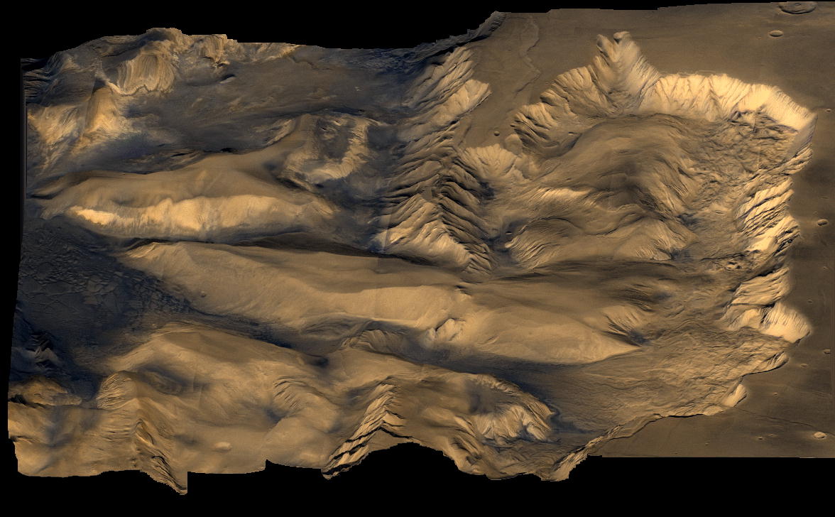
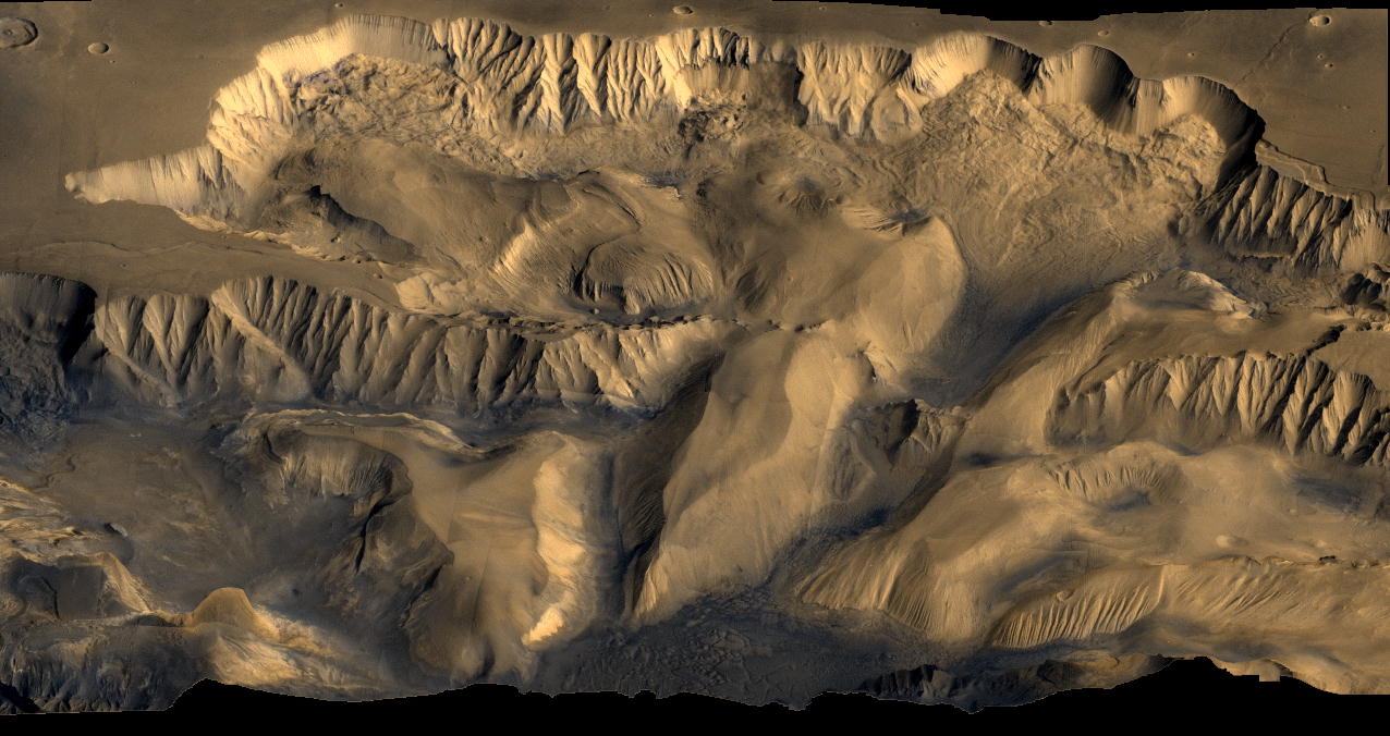

Canyons:
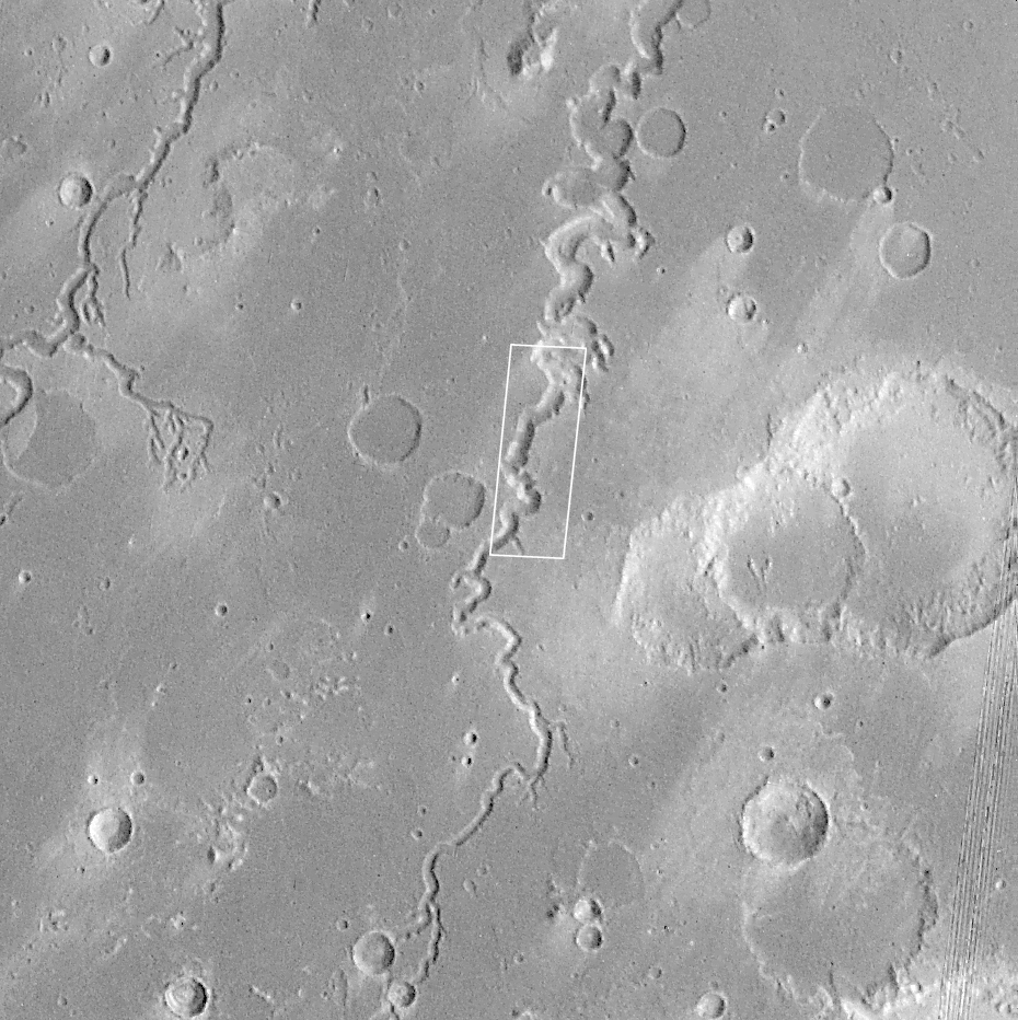
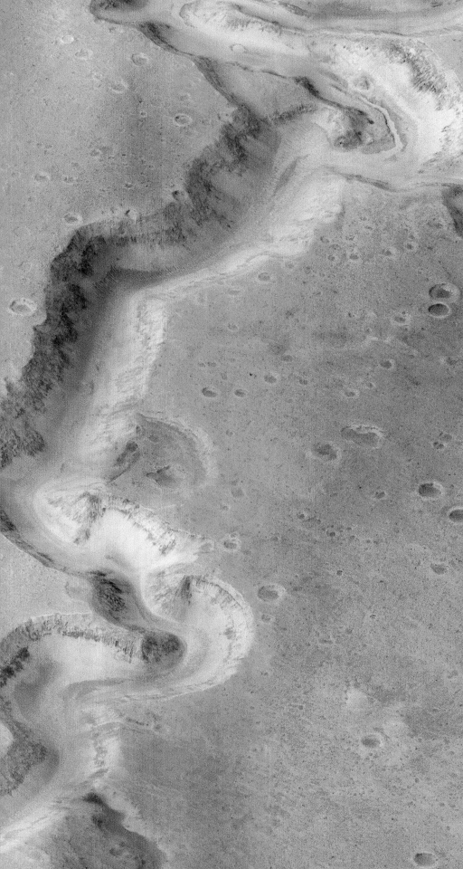
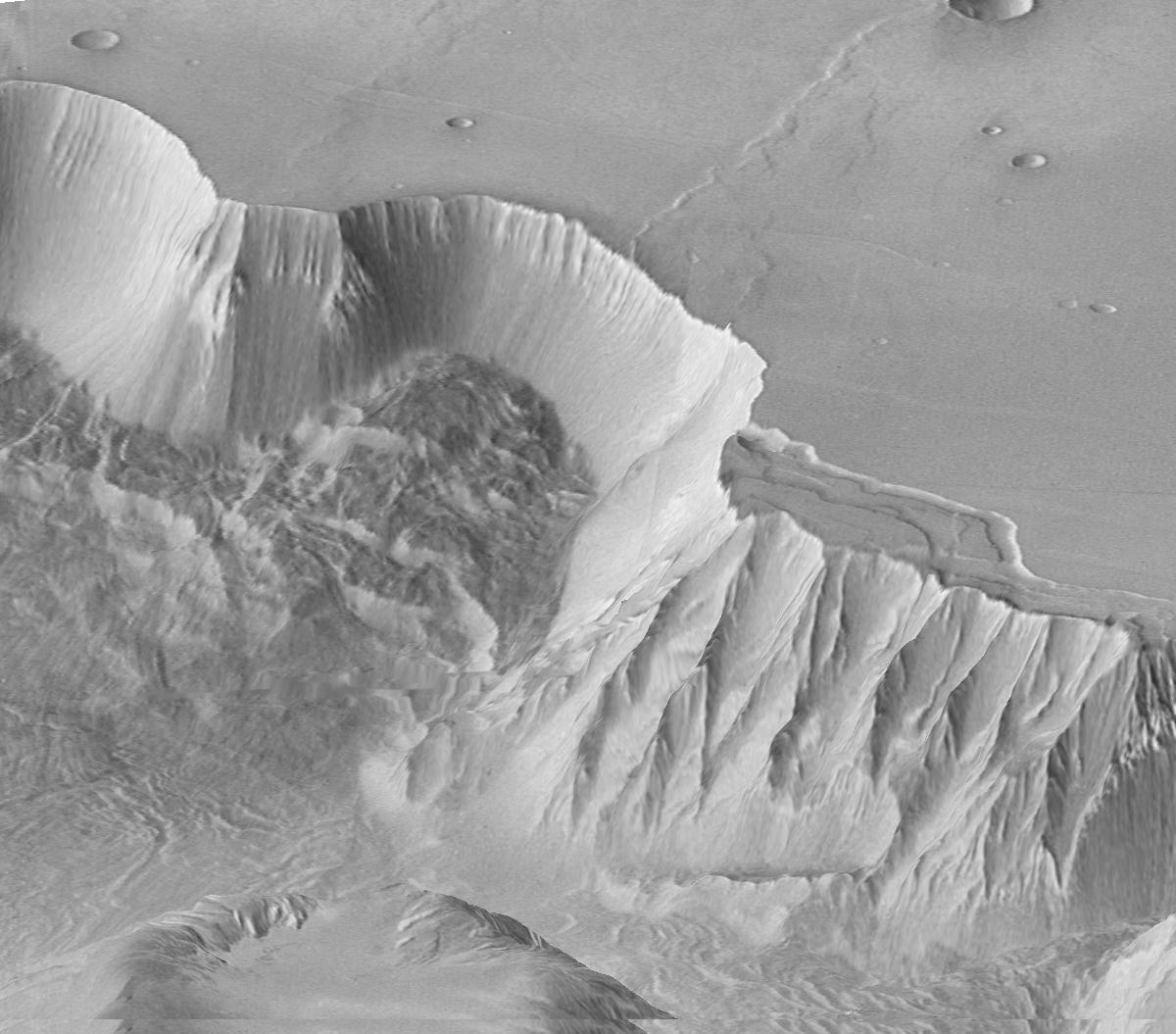
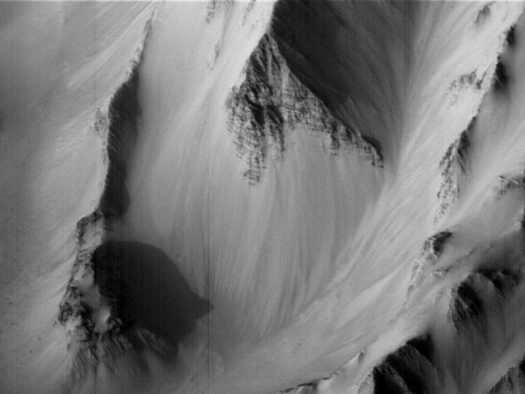
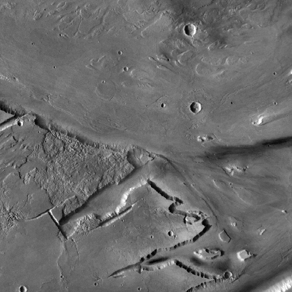
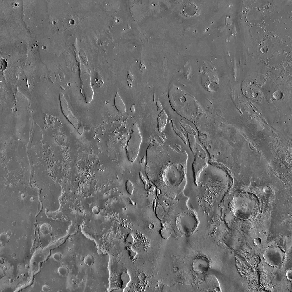
Water Flows:
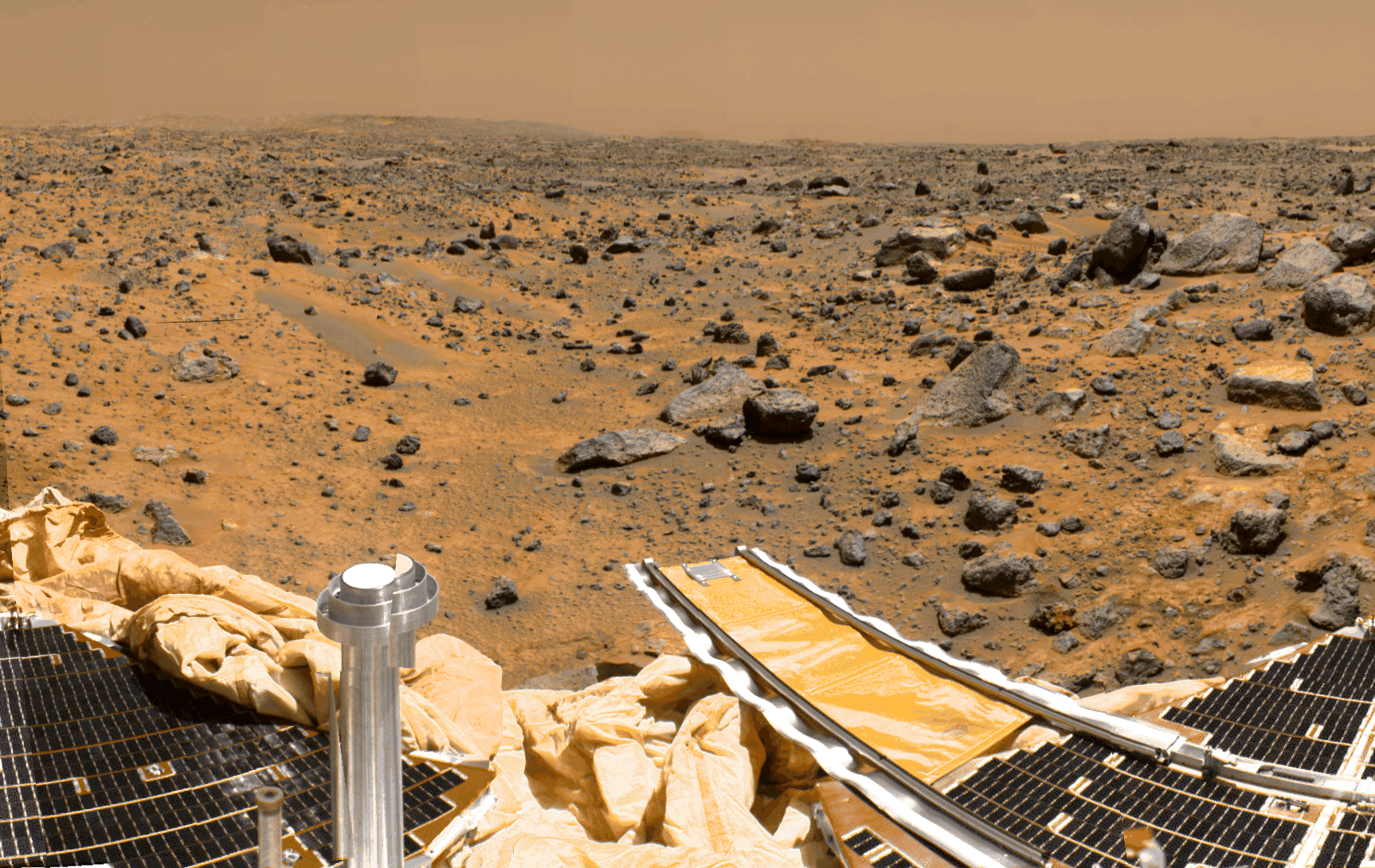
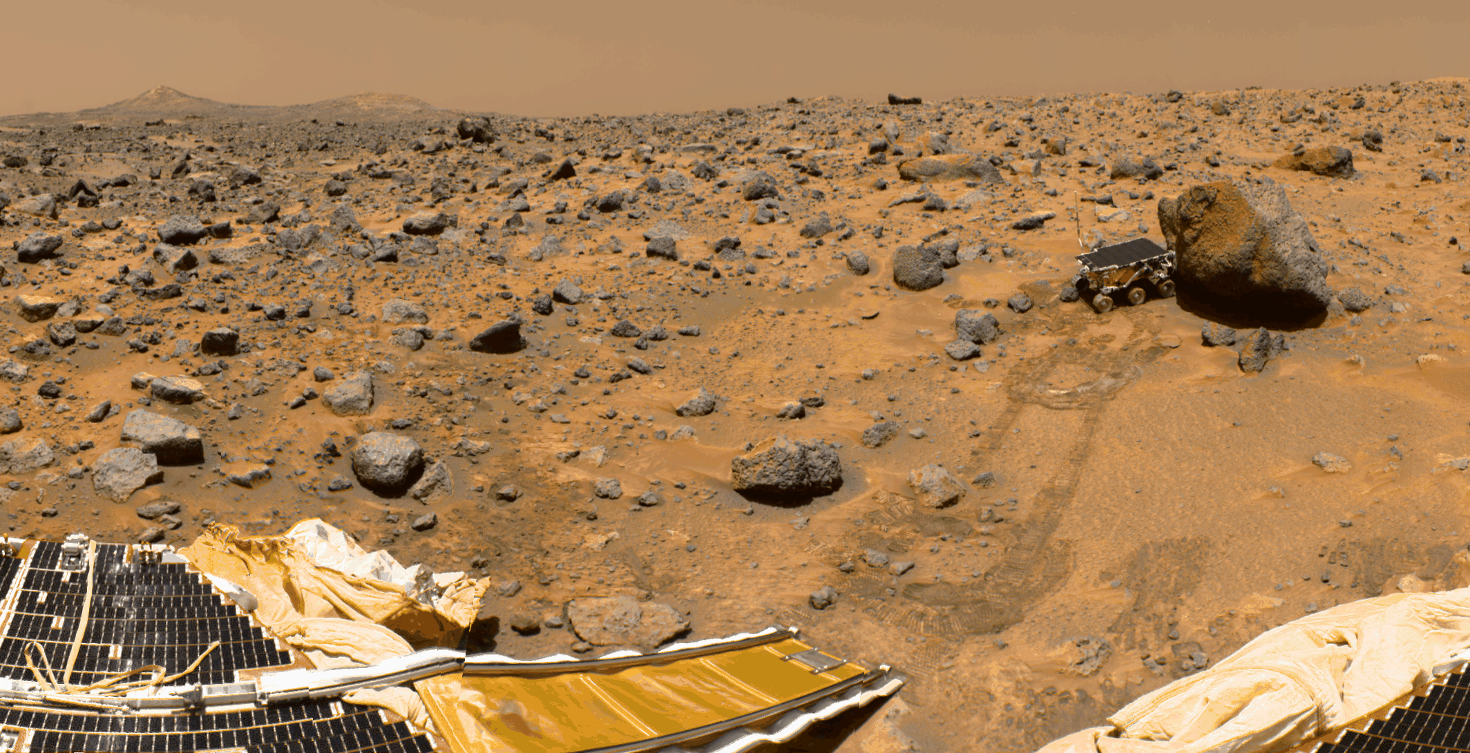
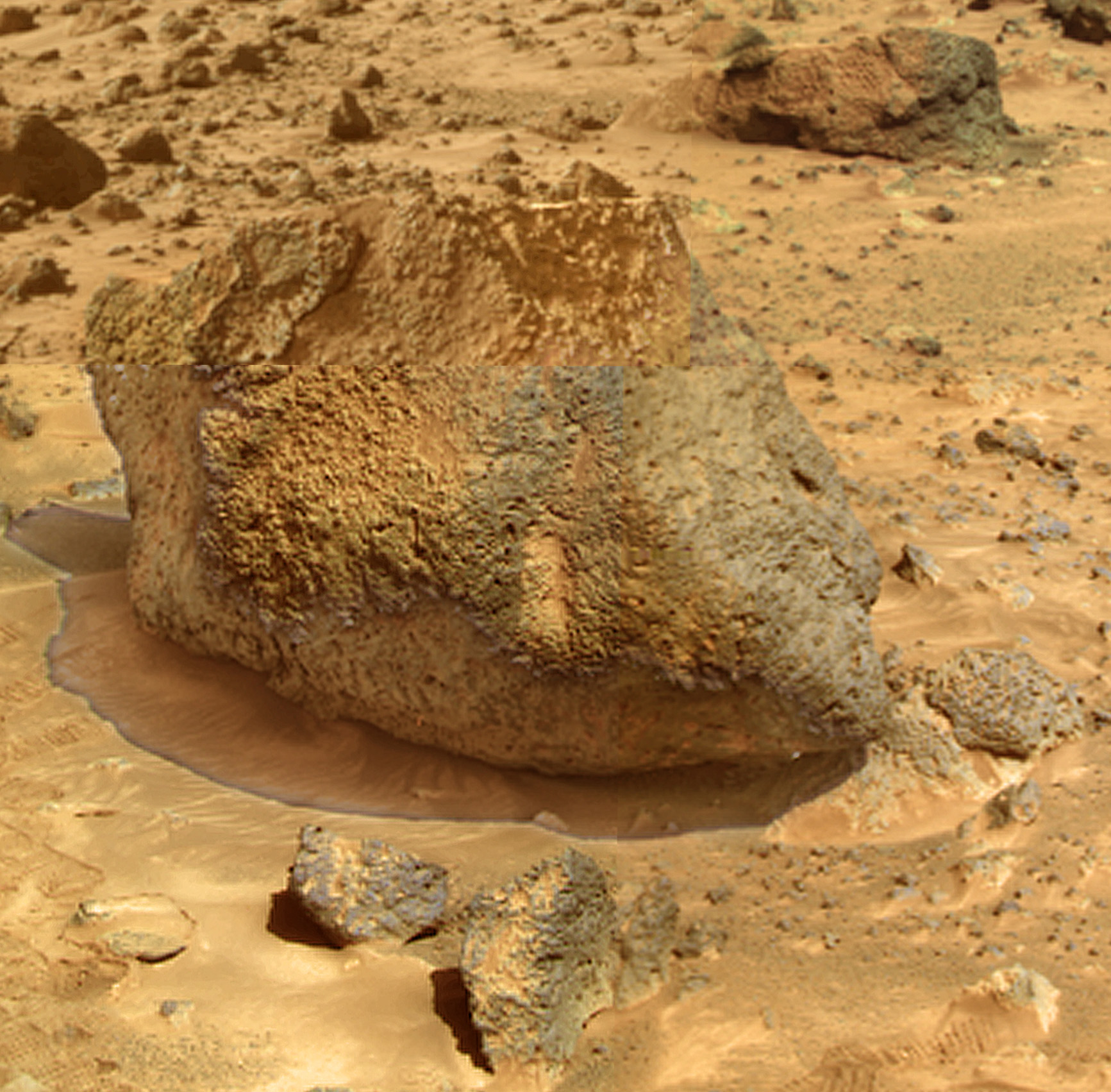
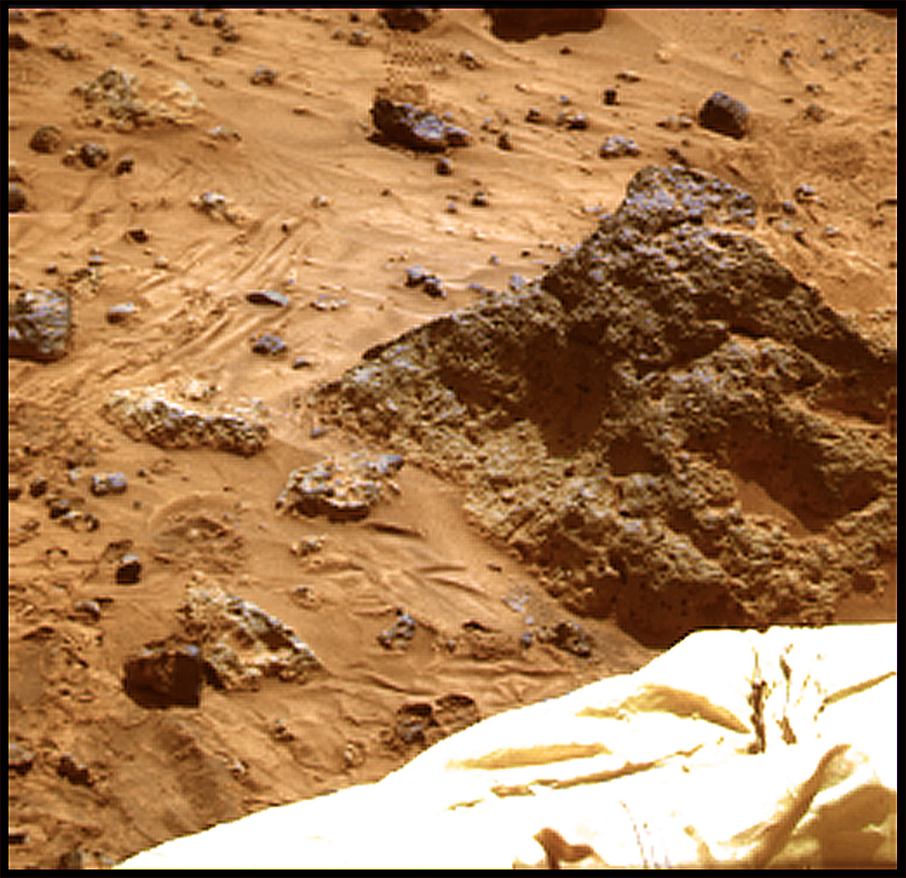
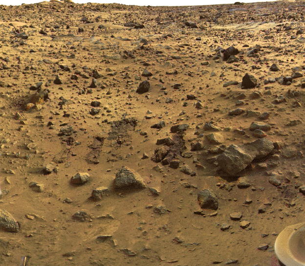
Landing Sites:
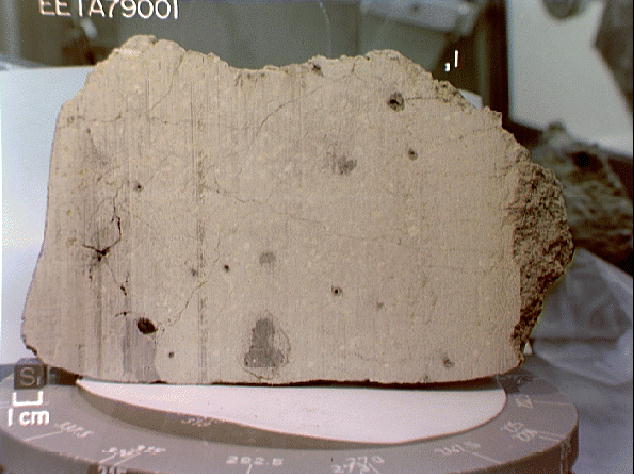
Moons: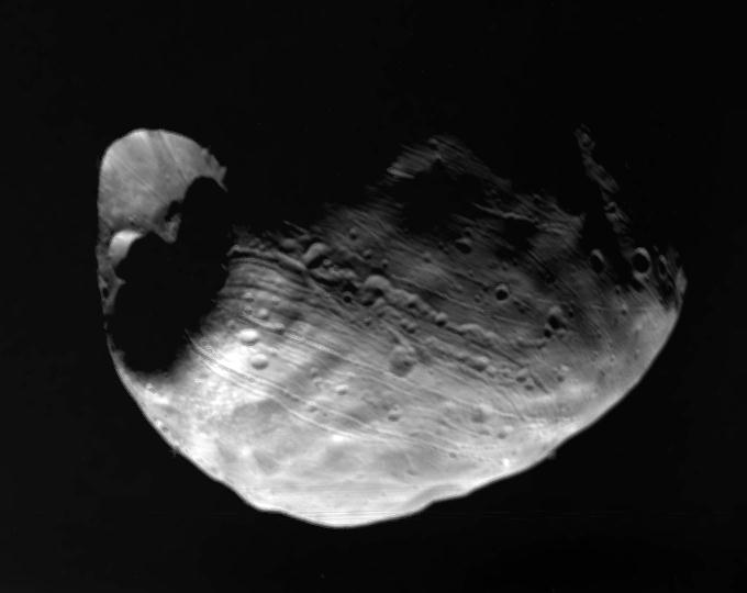 Martian Meteorite: